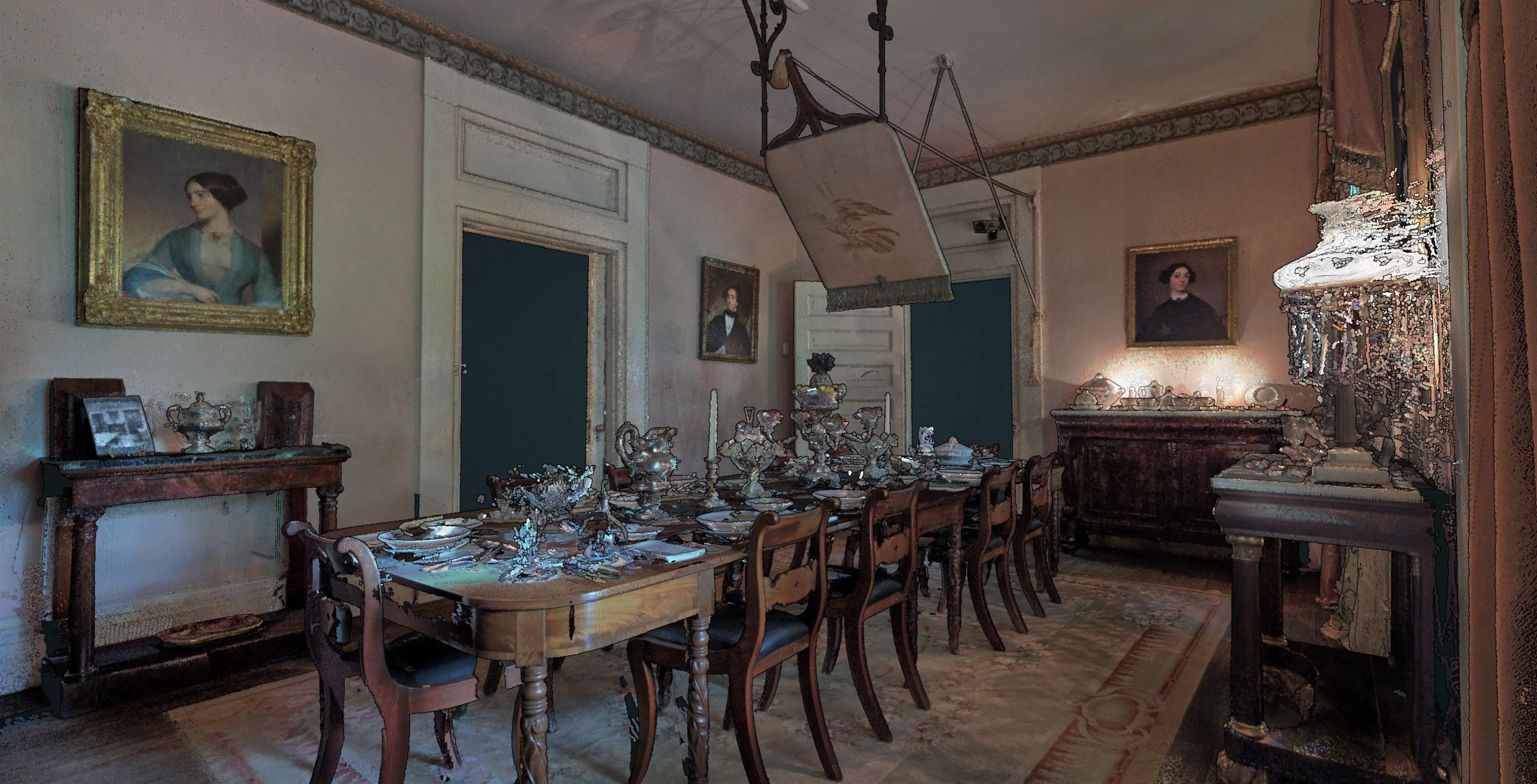
Rosedown
Location: Rosedown Plantation, St. Francisville, Louisiana
Team: Brendan Harmon, Nicholas Serrano, Josef Horacek, Sasha Matthieu, William Conrad, Javier Zamora, Matthew Cranney, & Ming Li
Funding: National Park Service’s Historic Preservation Fund
Rosedown is a two hundred acre site in St. Francisville, Louisiana with the well preserved remains of an antebellum plantation dating from 1834 including the main house, ancillary buildings, and formal gardens. The point cloud of Rosedown was created using terrestrial laser scanning with a Faro Focus and drone photogrammetry with a DJI Matrice 600 Pro with Zenmuse X5 camera. The project was lead by Brendan Harmon and Nicholas Serrano. The team included Josef Horacek, Sasha Matthieu, William Conrad, Javier Zamora, Matthew Cranney, and Ming Li. This project was supported by the LSU Center for GeoInformatics and LSU Coastal Sustainability Studio and funded by the National Park Service’s Historic Preservation Fund. The datasets are licensed Creative Commons Zero.

Point Cloud Viewer
The model of Rosedown is composed of many separate point clouds, each recording an important element of the plantation. This point cloud viewer presents the collection as an ensemble that can be explored by toggling on or off layers. Open the viewer, expand its menu, then expand the scene tab, and turn point cloud layers on or off.
Point Cloud Datasets